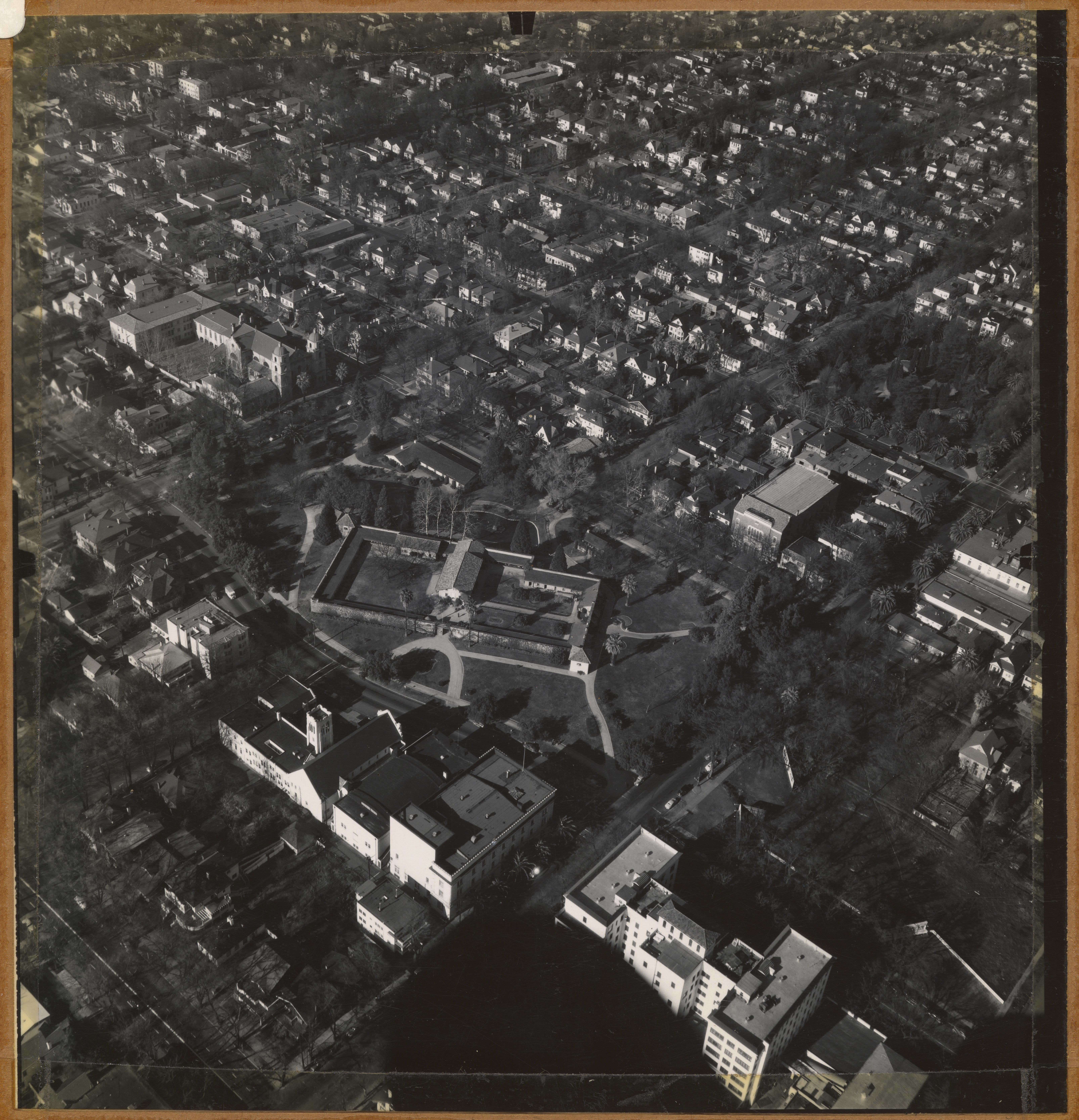
This arial photo of Sutter’s Fort was taken sometime in the 1940’s by Cartwright Aerial Surveys. In the photo you can also see Sutter Hospital, St. Francis of Assisi Parish Church and Pioneer Congregational Church of Christ. Cartwright Aerial Surveys created aerial photographs used to create topographic maps, subdivision layouts and court documents. The photographs now can be referenced to show the development of Sacramento and other cities in Northern California.